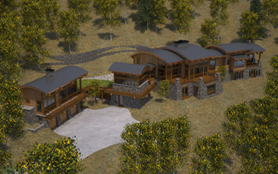
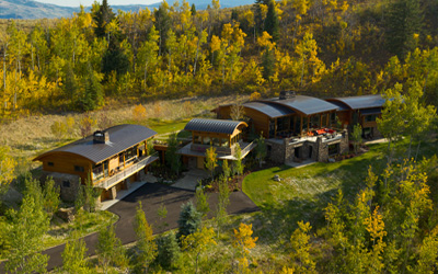
Mapping, construction progress, 3D rendering, and more...
On Location Aerial has the latest mapping technology, capable of 2-3 centimeter per pixel accuracy. We can provide highly detailed aerial maps and 3D renderings.
As the size of a project increases so does cost. On Location Aerial can provide timely construction progress monitoring,. Using the latest in drone technology to precisely place our camera, we can provide meaningful time lapse reports of construction projects big and small.